VARANASI: The India Meteorological Department on Wednesday, October 28, lowered its rainfall forecast for Varanasi on Friday, October 30, to very light or light rain at isolated places. The district bulletin issued at 12:30 IST changes the previous day's forecast of moderate rain at many places, while retaining Thursday's prospect of moderate rain with very heavy spells.
For residents in Lanka, Sigra and across Varanasi district, the update changes Friday's planning picture but leaves Thursday, October 29, as the main local rain concern. The new district outlook also keeps a small chance of light rain on Saturday before forecasting dry weather on Sunday, November 1.
What changed in the district forecast
The October 28 district rainfall bulletin forecasts rain at most places in Varanasi on Thursday, with intensity described as moderate with very heavy rain. For Friday, both the expected coverage and intensity are lower: isolated places, with very light to light rain.
This is a verified development from the October 27 forecast reported earlier. That bulletin had put Friday's rain at many places in the moderate category. Wednesday's revision does not remove the possibility of rain on Friday, and Thursday's higher intensity forecast remains in place.
| Date | Varanasi district rainfall forecast |
|---|---|
| October 28 | Very light to light rain at isolated places |
| October 29 | Moderate rain with very heavy spells at most places |
| October 30 | Very light to light rain at isolated places |
| October 31 | Very light to light rain at isolated places |
| November 1 | Dry |
IMD assigns its very likely probability category to all five daily entries. Each forecast day runs from 08:30 IST on the named date to 08:30 IST the next morning. Thursday's entry therefore covers the period through 08:30 IST on Friday, October 30. Readers planning an early Friday journey should distinguish that overnight window from Friday's separate forecast period.
Thursday warning follows cyclone landfall
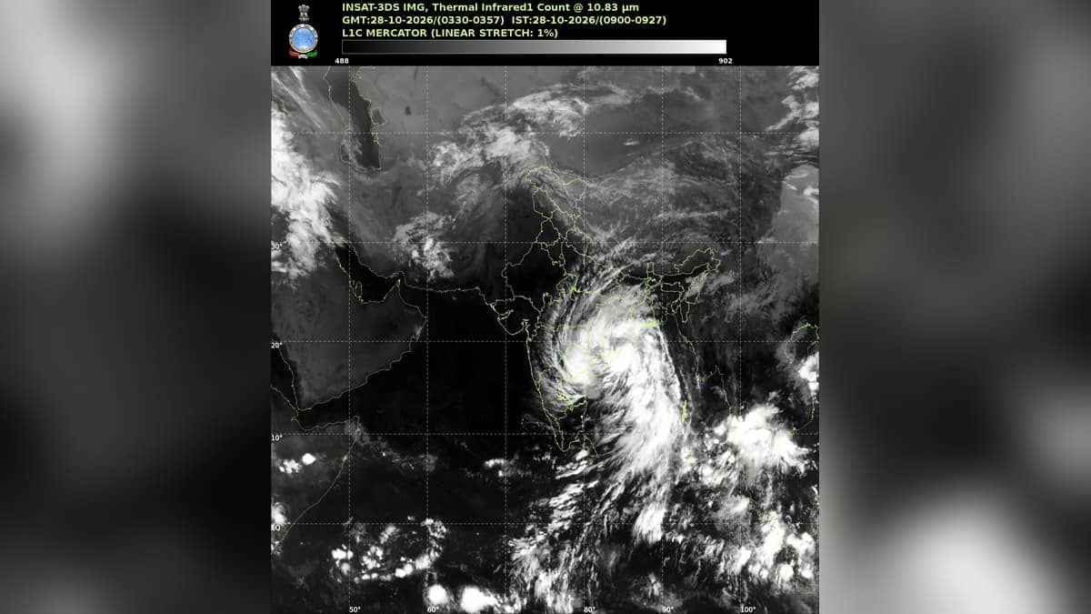
In a separate press bulletin issued at 13:15 IST on October 28, IMD said cyclone Arnab had crossed the Andhra Pradesh and Yanam coasts near Yanam between 02:00 and 08:00 IST that morning. It expected the system to weaken while moving north northwest over the following 48 hours.
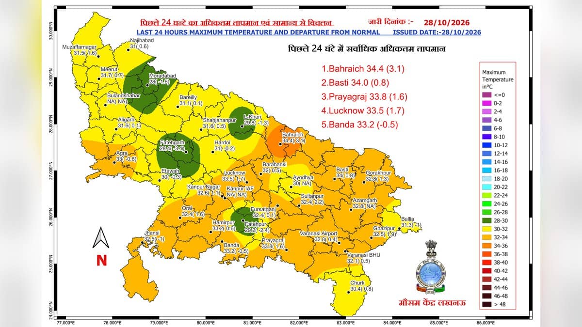
The department expects the system, together with its possible interaction with two western disturbances, to affect Uttar Pradesh's weather from Wednesday evening or night. Its regional assessment anticipates a marked fall of 6-9 degrees Celsius in maximum temperatures. That is a regional outlook, rather than a measured temperature fall already recorded in Varanasi.
The bulletin specifically names Varanasi for heavy to very heavy rain and thunderstorms, lightning and gusts of 40-50 kilometres per hour on Thursday. Its separate Friday district warning lists do not name Varanasi, although warnings continue elsewhere in eastern Uttar Pradesh. The distinction is relevant when reading a statewide orange alert alongside a local forecast.
Prepare for the higher risk period
IMD identifies possible waterlogging, reduced visibility, slippery roads and short local interruptions to electricity and water services during very heavy rain. Its advice is to avoid low lying or flood prone areas, drains, overflowing bridges and submerged routes, and to allow for travel delays.
During thunderstorms, the department recommends sheltering in a secure building, staying away from trees and leaving water bodies. The advisory describes possible impacts; it does not establish that flooding, service failures or damage have already occurred in Varanasi.
The same bulletin advises protecting harvested paddy in a safe, dry place under cover and maintaining drainage where needed. Farmers should read those precautions against Thursday's higher rainfall risk. For earlier local context, see our reports on storm related electricity disruption and silt removal along the ghats. Those reports concern earlier events.