
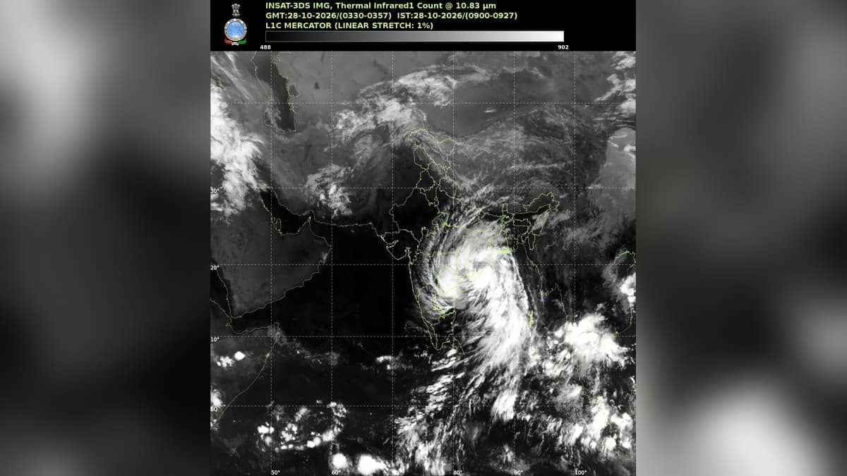
GURUGRAM: The India Meteorological Department named Gurugram for thunderstorms, lightning and gusty winds on Wednesday, October 28, in its Haryana bulletin issued on Tuesday, October 27, at 12:30 pm IST. Residents planning outdoor work or journeys along Sohna Road and Golf Course Road should check the district warning before setting out: the forecast gives possible gusts of 40 to 50 kmph at isolated places.
The bulletin also lists Gurugram for thunderstorms and lightning with hail and gusty winds on Thursday, October 29. That is a forecast of possible weather at isolated locations, rather than confirmation that every sector or neighbourhood will receive rain or hail.
What the district forecast says
The October 27 Haryana daily forecast bulletin places Gurugram, Mewat, Palwal and Faridabad together in its October 28 warning for thunderstorms, lightning and gusts of 40 to 50 kmph. The rainfall forecast names Gurugram among districts where light to moderate rain is likely at isolated places.
For October 29, the district list becomes more specific about hail. Gurugram appears with Karnal, Jhajjar, Faridabad, Sonipat and Panipat in the group where thunderstorms, lightning, hail and gusty winds are possible at isolated places. The separate rainfall forecast gives light to moderate rain at a few places in Gurugram and six other southern districts.
| Date, IST | Gurugram district forecast |
|---|---|
| Wednesday, October 28 | Isolated light to moderate rain; thunderstorms, lightning and gusts of 40 to 50 kmph at isolated places. |
| Thursday, October 29 | Light to moderate rain at a few places; isolated thunderstorms, lightning, hail and gusts of 40 to 50 kmph. |
| Friday, October 30 | Light to moderate rain at a few places; isolated thunderstorms, lightning and gusts of 40 to 50 kmph. |
| Saturday, October 31 | Isolated light to moderate rain; isolated thunderstorms, lightning and gusts of 40 to 50 kmph. |
The October 30 district warning includes Gurugram for thunderstorm, lightning and gusty winds. Its hail warning that day names Karnal, Sonipat and Panipat, so residents should not read the statewide hail outlook as a separate Gurugram hail forecast for Friday.
A western disturbance is in the outlook
IMD's bulletin says a western disturbance persisted as a cyclonic circulation over north Haryana between 3.1 and 4.5 km above mean sea level. It also forecast a fresh western disturbance affecting northwest India from the night of October 27. These are the weather systems identified by the department in the same bulletin.
The city's separate Gurgaon weather report dated October 27 recorded a maximum temperature of 31.8 degrees Celsius and a minimum of 15.1 degrees. It reported no rainfall in the 24 hour observation period ending at 8:30 am IST. Morning relative humidity was 79 per cent.
Those observations describe the period already measured. They do not cancel the later district warning for the following days. The city forecast table lists minimum and maximum temperatures of 16 and 31 degrees for October 28 and October 29, and includes possible rain or thundershowers on October 29.
How to use the forecast
The district bulletin covers a wider area than a single city observation point. It does not give a sector by sector rainfall timetable or an exact hour for a thunderstorm. People arranging outdoor work, an evening gathering or a journey should revisit the Meteorological Centre Chandigarh website for the next bulletin and any shorter term warning.
The city table shows mainly clear skies for October 30 and October 31, while the district bulletin retains a wider rain and thunderstorm outlook. These products describe different geographic coverage. For decisions involving storm exposure, readers should keep the district warning in view rather than treating a city sky symbol as an all clear for the whole district.
For other local conditions and travel background, read our reports on Gurugram and Manesar air quality, Sadar Bazar parking locations and the AIT Chowk pipeline repair plan.