MapmyIndia Mappls and MathWorks have announced a collaboration to bring detailed Indian road maps into the software used to develop advanced driver-assistance systems. The integration connects Mappls high-definition maps with MATLAB, Simulink and RoadRunner, allowing automotive engineers to test their systems against virtual representations of local roads.
The announcement, dated 5 October 2026 in Bengaluru, was submitted to the stock exchanges by Mappls parent C.E. Info Systems. Its immediate audience is vehicle engineering teams. The official filing does not name a production car receiving the technology or give owners a software-update date.
The companies identify mixed traffic, inconsistent lane behaviour and changing road layouts as particular challenges for India. The maps bring lane geometry and traffic controls into simulations, alongside details such as speed breakers, potholes and faded markings. The stated aim is to begin validation earlier in vehicle development.
Recreating the road an assistance system must interpret
A high-definition road map contains more than the route between two addresses. Mappls describes its maps as three-dimensional representations with centimetre-grade precision, recording lane boundaries, junctions and roadside objects. Those attributes give an engineering team a structured description of the environment around a simulated vehicle.
According to the company's HD-map documentation, its survey equipment combines lidar with cameras, GPS and vehicle data inputs. The resulting map can carry details such as road width, the position of traffic signs and the height of signals. These are company-described capabilities, rather than an independent assessment of mapping accuracy.
Mappls offers existing maps as well as mapping for customer-selected areas. It also provides conversions into customer-specific formats. Its documentation already describes compatibility with the CARLA simulator, so the October announcement expands a development-tool connection rather than marking the company's first use of maps in simulation.
For developers, that distinction separates the geographical data from the software used to run a test. A road's layout can be represented in a map, while the test environment supplies the vehicle, simulated sensors and the driving situation. Each component contributes a different part of the engineering exercise.
What RoadRunner adds to the test environment
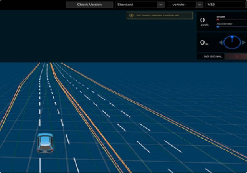
MathWorks describes RoadRunner as an editor for building three-dimensional road scenes. Engineers can create intersections and roundabouts, adjust markings and insert objects alongside the carriageway. The tool also allows region-specific traffic signs, an important distinction when a scene is intended to represent a particular road environment.
Traffic signals can be given different phases and timings. Road surfaces can include damage and speed bumps, while bridges, barriers and buildings can be added to the scene. These controls allow the physical setting to be changed during development instead of relying on a single fixed road model.
The software supports importing and exporting road networks in OpenDRIVE format and exporting scenes to other simulators. A related product, RoadRunner Scene Builder, can generate road models from HD maps. The collaboration announcement does not publish a bundled licence price or specify which optional software components a customer would need.
From virtual behaviour to a finished vehicle
MathWorks' automated-driving documentation describes a wider workflow in which engineers develop perception, planning and control algorithms. Camera, radar and lidar data can be used for detecting objects and estimating their positions. Vehicle-dynamics models then help represent how a vehicle responds to an algorithm's commands.
Its reference applications include adaptive cruise control, lane keeping and automatic emergency braking. The tools also support integrating different systems and automating test cases. That explains the purpose of the mapping tie-up: a more locally detailed environment in which to examine how assistance software behaves before deployment.
The same development framework supports generating code for deployment to hardware. MathWorks lists interfaces for connecting sensors with electronic control units, placing the virtual tests within a longer process that extends beyond designing a road scene.
Dalimss News has separately reported on Honda Elevate's driver-assistance equipment and the XUV 3XO's Bharat NCAP variant coverage. Neither report establishes participation in this collaboration. Mappls and MathWorks have announced an engineering capability, with no published crash-reduction result or model-specific consumer rollout attached to it.