The India Meteorological Department has taken the yellow off Saturday. Meteorological Centre Lucknow’s press note dated 28 August 2026 lists the state warning as NIL. Rain or thundershowers are still very likely at isolated places over West Uttar Pradesh and at a few places over East Uttar Pradesh. That is a spell forecast, not a heavy-rain alert. Friday’s yellow is lifted.
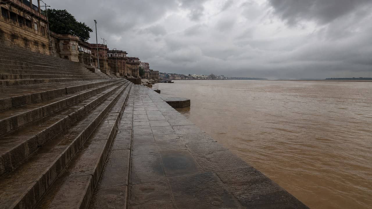
Varanasi’s city forecast sheet, issued the same day, is the local product. In the past 24 hours the city recorded a maximum of 34.2°C and a minimum of 24.9°C. Rajghat measured 14.2 millimetres. Varanasi Airport, on that same city sheet, measured 2.3 millimetres. The two gauges are not a blended city average. Rajghat is the wetter pocket. The airfield is the drier one.
Saturday’s Day-1 line on the city sheet reads partly cloudy sky with one or two spells of rain or thundershowers. Temperatures are put at 31°C and 24°C. Anyone checking a ghat morning or an airport run is looking at a cooler maximum than the 34.2°C already realised, and a shade under yesterday’s 24.9°C minimum.
The Lucknow press-note table also prints a Varanasi Airport column: minimum 24.9°C, departure −1.1; maximum 33.5°C, departure −0.1; rainfall 6.1 millimetres. That 6.1 millimetres is the press-note AP column. It is not the city-sheet AP figure of 2.3 millimetres. The sheets cover different periods. They should not be added, and one does not cancel the other. For Varanasi-specific millimetres this morning, the city sheet is the one to carry: 14.2 millimetres at Rajghat, 2.3 millimetres at the airport.
NIL on the state warning is the change from Friday. Isolated rain in the west and rain at a few places in the east can still put a thundershower over Kashi. They do not restore a yellow. The press note does not hang Saturday on a named low or a named trough. It hangs it on a blank warning line and a few-places East UP forecast.
The later days on the city sheet stay in the same family. They are not the lead. Sunday, Day-2, is again partly cloudy with one or two spells, 32°C / 25°C. Monday and Tuesday, Days 3 and 4, hold 34°C / 26°C on the same partly-cloudy wording. Wednesday, Day-5, turns generally cloudy with one or two spells, 33°C / 25°C. None of those later boxes is a warning box.
The realised pair — 34.2°C and 24.9°C — belongs to the past 24 hours on the city sheet. The press-note AP maximum of 33.5°C, a tenth of a degree below normal, is a different station-and-period reading. The minima line up at 24.9°C. Humidity columns and Lucknow’s neighbourhood forecast in the same press note are not the Varanasi clock.
A reader who treats 14.2 millimetres as citywide rain overstates the airport. A reader who treats 2.3 millimetres as the ghat understates Rajghat. Both numbers are on the 28 August city product. The 6.1 millimetres sits only in the press-note AP column.
For a Kashi Saturday, the usable official line is the NIL warning and the 31°C / 24°C partly-cloudy day. The 14.2 millimetres at Rajghat has already fallen.