
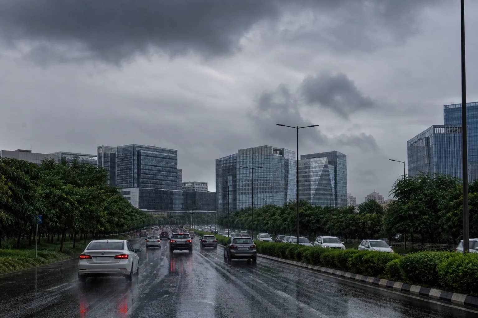
GURUGRAM: Keep the umbrella within reach this week, but do not mistake a wet forecast for a heavy-rain warning. The India Meteorological Department expects repeated spells of light to moderate rain in Gurugram from Tuesday through Saturday, with activity becoming more widespread from 3 September. Its current district outlook does not place Gurugram under a heavy-rain warning.
For Tuesday, rain is likely at isolated places across Gurugram and the neighbouring districts of Nuh, Palwal and Faridabad. The coverage is expected to expand to a few places on Wednesday and to many places on Thursday and Friday. Haryana's broader outlook suggests rain at many locations on Saturday before the activity eases on Sunday.
The wettest window begins on Thursday
The forecast points to 3-5 September as the most active part of the week. Two weather systems are helping keep moisture over north India: a western disturbance represented by a cyclonic circulation over north Pakistan and adjoining Jammu, and the monsoon trough running through parts of Punjab and Uttar Pradesh towards a low-pressure area over Gangetic West Bengal and the north-west Bay of Bengal.
That combination can produce more than one spell in a day, with long dry gaps possible between showers. Rain will therefore not be uniform across Gurugram. One sector may receive a sharp shower while another remains mostly dry. Residents should rely on short-range alerts and conditions in their immediate area rather than treating a city-wide forecast as a guarantee of rain at a particular hour.
The distinction between a forecast and a warning matters. IMD has indicated isolated heavy rain somewhere in Haryana during the 1-5 September period, but Gurugram is not specifically covered by a heavy-rain warning in the current seven-day district outlook. That position can change as the systems move, so the latest nowcast remains more useful for travel decisions than an older screenshot.
Commuters should plan around familiar weak points
Even moderate rain can slow Gurugram when it arrives during the office rush. Service lanes, underpasses and low stretches near active construction sites can collect water before pumps and drains catch up. Metro barricading and road repairs have also narrowed usable carriageways at several points. Motorists should leave extra braking distance, avoid entering water whose depth is unclear and expect slower movement around IFFCO Chowk while sewer and road restoration continues.
Housing societies and market associations can use the relatively measured forecast to check basement pumps, clear rooftop outlets and secure loose construction material before the more active Thursday-to-Saturday window. Open pits and uncovered utility chambers deserve particular attention because shallow water can hide their edges.
For the administration, this spell is another operational test after August's waterlogging. Drain gates must be closed on time, pumping stations staffed and complaints routed quickly instead of waiting for a severe warning. The forecast is not a declaration that disruption will occur. It is an early notice that repeated showers are likely, giving the city several days to prevent routine monsoon rain from turning into an avoidable civic emergency.