
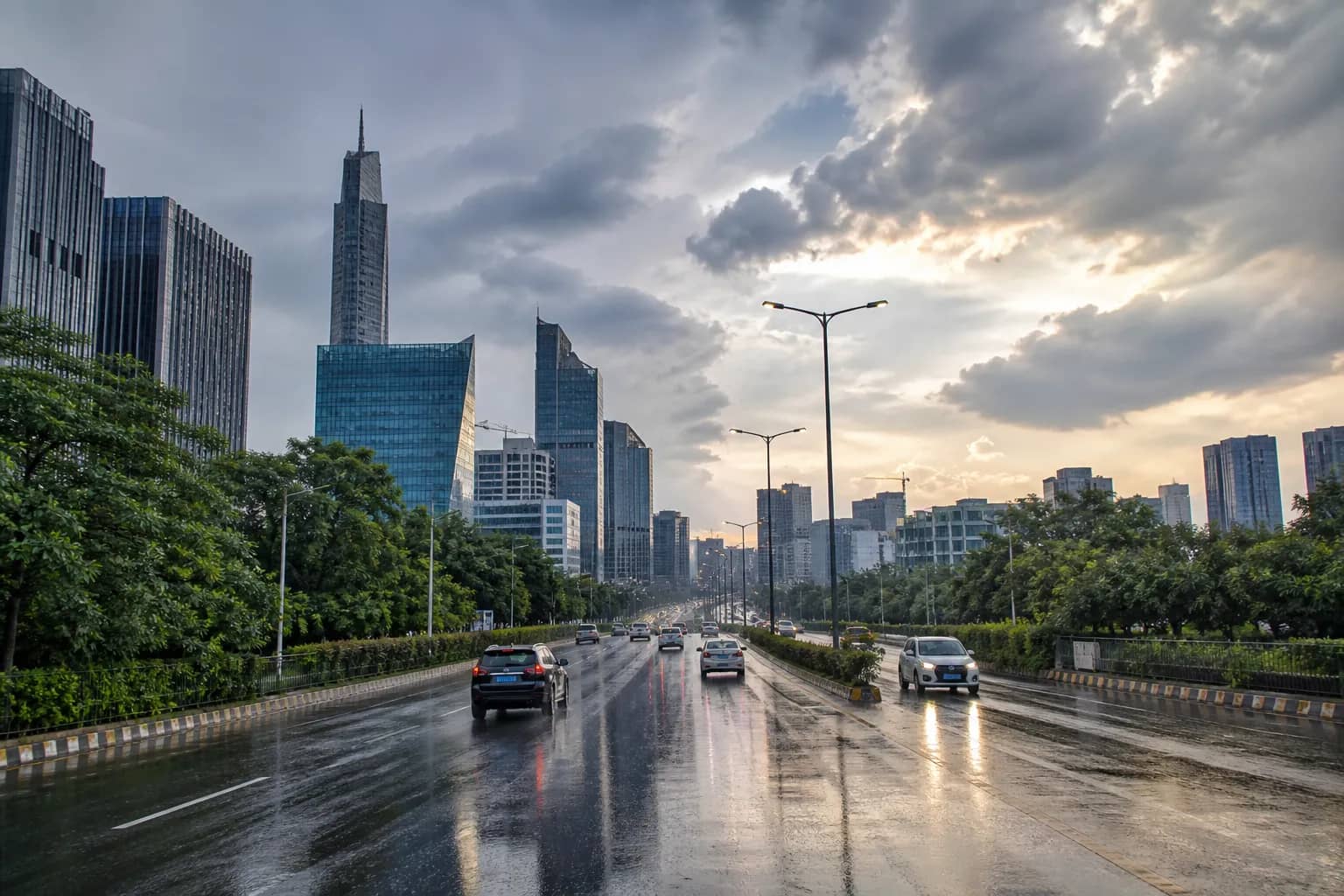
GURUGRAM: Gurugram's seasonal rainfall slipped to one per cent below normal by August 19 after a notably dry week wiped out the district's earlier monsoon surplus.
The district received 338.9 millimetres of rain between June 1 and August 19, compared with the long-period normal for the same stage of the season. A week earlier, on August 12, cumulative rainfall stood at 333.9 mm and was 12 per cent above normal. Only about five millimetres was added over the next seven days, producing a 13-percentage-point swing.
A one per cent deficit is not classified as deficient monsoon rainfall. Meteorological convention treats departures from 19 per cent below normal to 19 per cent above normal as the normal category. Gurugram therefore remains statistically within the normal band even though the direction of travel changed quickly.
The numbers also illustrate why a seasonal total and the experience of a single storm can tell very different stories. Intense rain over a few hours may flood roads and underpasses, while a long dry spell can still pull the cumulative district figure down. Urban waterlogging measures drainage capacity at a particular place and time; monsoon departure measures accumulated rain across the district against a historical benchmark.
A sharp change after an early surplus
Gurugram entered mid-August with a comfortable cushion. The limited rain that followed was not enough to keep pace with the amount normally expected during this stage of the monsoon, so the surplus disappeared without the district's rain gauge falling in absolute terms.
For farmers in the district's rural belt, the timing and spread of rainfall can matter as much as the cumulative figure. A normal seasonal total does not guarantee that every block received useful rain when crops needed it. For the city, meanwhile, alternating dry spells and short heavy bursts create their own maintenance problem: drains gather litter and silt during quiet periods and are then tested suddenly.
Forecasts remain a moving picture
Available forecasts at the time of the latest assessment indicated limited rain in the near term. That outlook can change, and it should not be read as a guarantee of a dry week. Monsoon systems can shift in track and intensity, particularly across the National Capital Region.
Residents should therefore separate preparedness from prediction. A small seasonal deficit does not remove the possibility of a local downpour, lightning or a waterlogged commute. Equally, one dramatic rain event does not automatically mean the full season is above normal.
With several weeks of the monsoon still left, the one per cent figure is a snapshot rather than a final score. The district could return to surplus after a wet spell or move further below normal if the lull persists. The more useful public measure will be how agencies respond at both ends: conserving water during gaps and keeping drainage and power systems ready for the next burst.