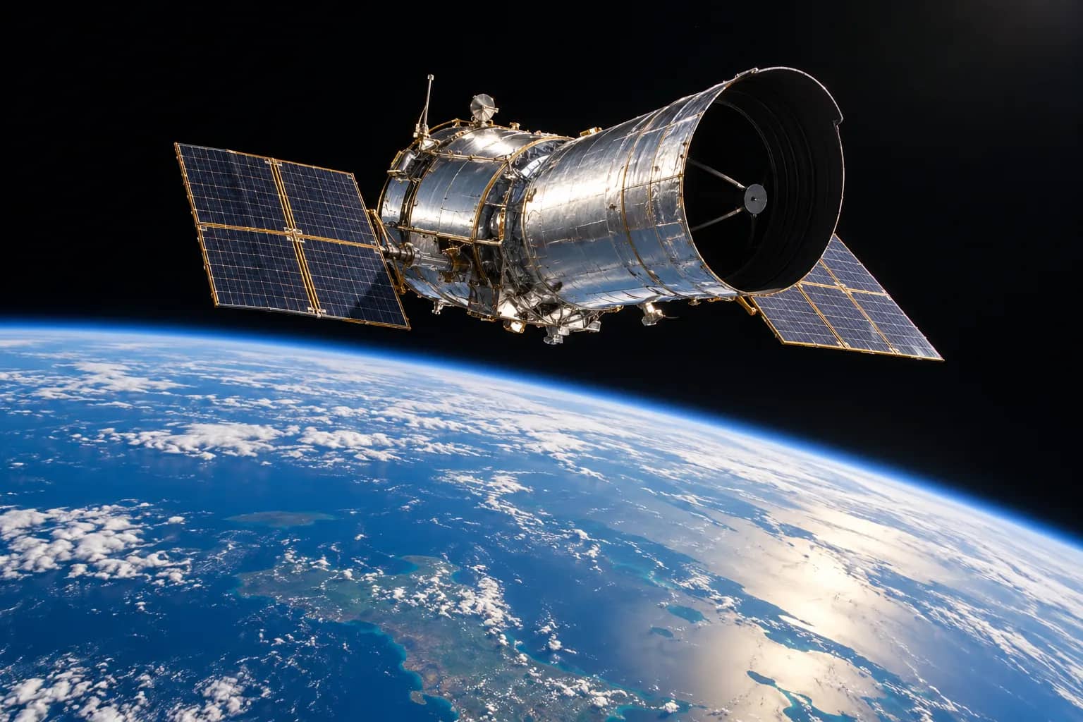
Copernicus Sentinel-6B entered operational service on October 30, EUMETSAT said, adding a satellite to the system used to monitor sea levels and support forecasts of ocean conditions. The spacecraft is expected to become the reference for global sea-level measurements in the coming months, rather than taking over that role immediately.
The mission extends an observation record that began in 1992 into the 2030s. Its measurements reach forecasting systems in about three hours, helping models assess conditions ranging from approaching storms to longer-lasting ocean changes. EUMETSAT says the data support forecasts over periods from days to months, including tropical cyclone intensity and El Niño and La Niña conditions.
Sentinel-6B has been flying close to its twin, Sentinel-6 Michael Freilich, since December 2025 for calibration. The satellites follow one another about 30 seconds apart. When Sentinel-6B assumes the reference role, Michael Freilich will move to another orbit.
Data users already have a route to the measurements
The change follows work to bring Sentinel-6B observations into existing ocean-data services. In an October 27 newsletter, NOAA CoastWatch said it was adding the satellite's Poseidon altimetry observations to its product pipelines. The measurements feed along-track products for sea-level anomaly, significant wave height and surface wind speed.
CoastWatch lists Sentinel-6B data from September 9, 2026 onwards, available in NetCDF and KML formats. Researchers and marine modellers can therefore distinguish the new operational-service announcement from the earlier availability of observations through that service. The newsletter describes an expansion of its sea-level and physical oceanography offerings, not the first launch of the spacecraft.
ESA's mission specifications put Sentinel-6B's launch on November 17, 2025, from Vandenberg in California. It travels at an altitude of 1,336 kilometres, with an orbital inclination of 66 degrees. The mission's repeat cycle is ten days, giving successive measurements along the same observation pattern.
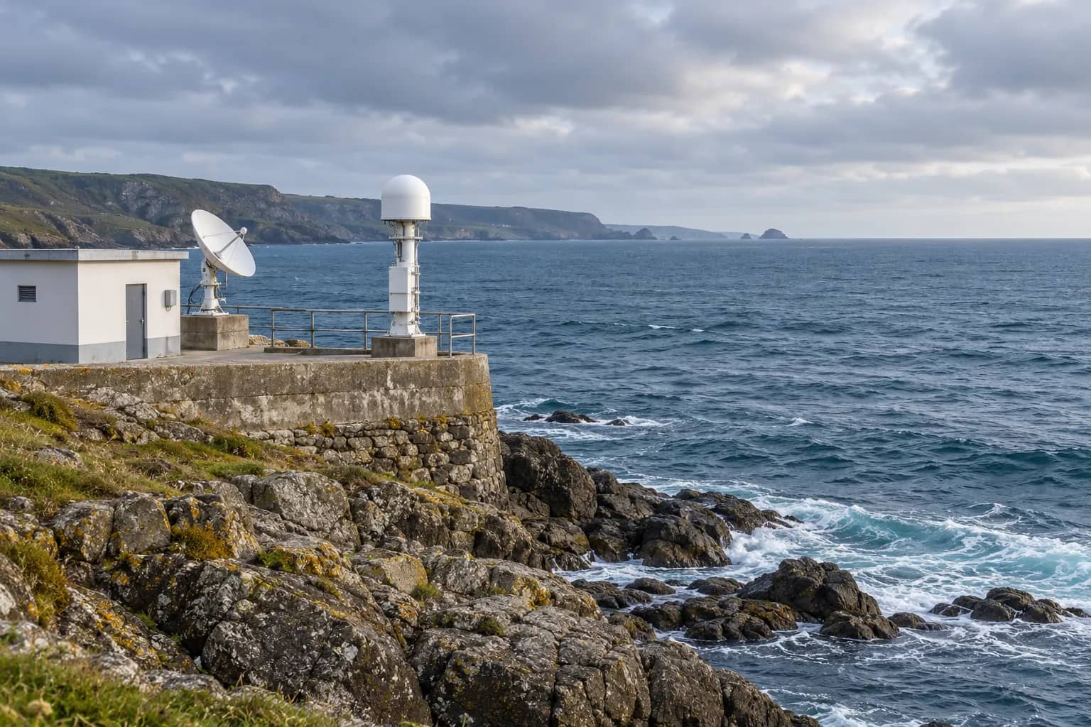
Each satellite was designed for a minimum life of five and a half years. Scientific measurements and telemetry are transmitted to receiving stations at Kiruna in Sweden and Fairbanks in the United States. Those ground links are part of the chain that turns an orbiting instrument's measurements into usable ocean information.
What the radar actually measures
The central instrument, Poseidon-4, is a radar altimeter operating at C-band and Ku-band frequencies. ESA describes a design that produces conventional low-resolution measurements and higher-resolution synthetic aperture radar data simultaneously. That combination links the mission to earlier altimetry systems while providing more detailed observations.
A radar altimeter measures the time taken for a pulse to travel to the surface and return. Processing that echo allows scientists to determine the distance between the satellite and the water. Sea-surface height is derived from the radar range, while other features of the returning signal reveal different ocean conditions.
ESA's instrument guide explains that the slope at the beginning of the echo waveform is used to estimate significant wave height. The strength of the return supplies information about surface roughness, from which surface wind speed is derived. These are different measurements extracted from the same radar observations.
For higher-resolution processing, the system combines repeated returns as the satellite moves along its path. Averaging the resulting waveforms reduces noise. ESA says this improves along-track resolution from several kilometres to about 300 metres. A dedicated onboard processor reduces the amount of data that must be transmitted to Earth by half.
Correcting for the atmosphere
The radar does not operate alone. A NASA-provided microwave radiometer measures the atmospheric water vapour that affects how quickly radar pulses travel. Accounting for that effect helps avoid errors in the calculated height of the sea surface.
The spacecraft also carries equipment for precise orbit determination, including a GPS receiver and a laser retroreflector. Knowing the spacecraft's position accurately is part of obtaining reliable height measurements, alongside the radar and atmospheric correction.
ESA says the mission supplies near-real-time ocean measurements for operational oceanography and can measure river and lake heights for hydrology. The two-satellite design was intended to extend the sea-surface height record until at least 2030. The October 30 service announcement concerns the second spacecraft's operational status within that longer-running mission.
Related coverage: NASA’s TRACERS results on magnetic reconnection and NASA’s request for Hubble servicing proposals.