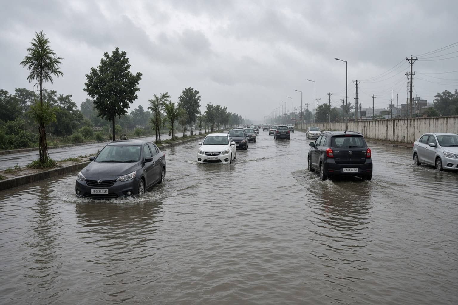
GURUGRAM: Heavy rain on Saturday waterlogged roads in Sectors 3, 5, 10, 14 and 31, along with stretches of Sohna Road, Sheetla Mata Mandir Road and Old Delhi-Gurgaon Road, while daytime temperatures dropped by about seven degrees. Manesar recorded 64mm between 8am and 3pm, the highest among listed stations for that window, followed by Sohna at 52mm, Kadipur and Harsaru at 39mm each, and Gurgaon tehsil at 28mm. Wazirabad and Pataudi logged 25mm each, Badshapur 24mm and Farrukhnagar 13mm.
The preceding 24 hours had already been wet. Manesar logged 54mm between Friday and Saturday 8am, with Wazirabad at 42mm and Gurgaon tehsil at 41mm. District Disaster Management Authority issued an advisory asking people to avoid non-essential travel and stay clear of waterlogged roads, underpasses and low-lying areas. The note followed an IMD nowcast at 10.38am warning of rainfall above 15mm an hour with thunderstorms and gusty winds. Commuters were told not to cross flooded stretches and to keep away from trees, electric poles and overhead wires during the storm.
DDMA circulated the warning to GMDA, police, MCG, traffic police and education offices. Gurgaon KVK recorded a high of 27.3 degrees Celsius against 32.5 degrees a day earlier. NorthCap University logged 27 degrees against Friday's 34.8 degrees.
Dry spell marked from Tuesday
IMD's district-wise forecast issued on Sunday placed the city in the many category for that day, meaning rain at 50 to 75 percent of reporting stations. The city averaged 23.5mm in the 24 hours to 8.30am Sunday, while the NorthCap University station recorded 27mm. Monday was marked for isolated light rain at up to a quarter of stations. Faridabad, Nuh and Palwal were also listed as isolated.
From Tuesday, rainfall activity is expected to drop sharply. IMD marked Gurugram dry for 8, 9 and 10 September. Across south Haryana, the wet belt is forecast to shrink, with rain focused more on northern districts such as Panchkula, Ambala and Karnal on Tuesday while Gurugram stays in the dry zone. Nuh had recorded 49mm among Sunday's regional totals, underlining how uneven the weekend belt remained even inside the NCR fringe.
The Saturday advisory landed barely 12 days after the 24 August spell that flooded Subhash Chowk, Hero Honda Chowk, Rajiv Chowk, IFFCO Chowk and parts of old Gurugram. School buses and ambulances were caught in that earlier jam. This weekend's figures are lower than that peak at many stations, yet enough to refill the same weak spots. A short dry window from Tuesday offers agencies a chance to clear traps and pumps before the next trough returns.
Underpasses on older arterial links remain the first places where a 15mm-an-hour nowcast turns into stalled traffic. DDMA's reminder not to drive into flooded dips is aimed at those exact spots, where a car can lose traction before the driver sees how deep the water sits.