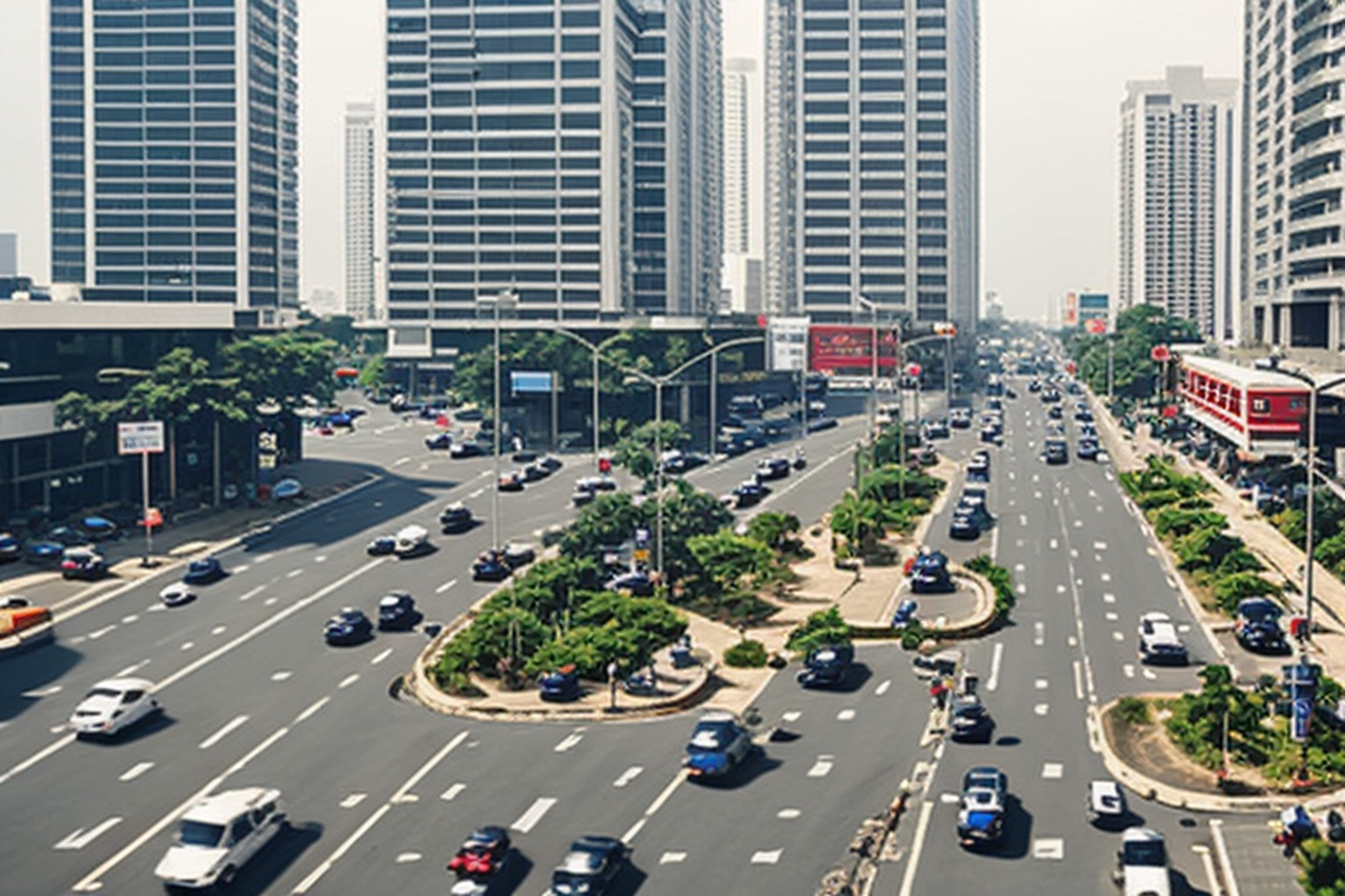
Proposal Seeks Revival of Gurugram's Lost Natural Drainage Network
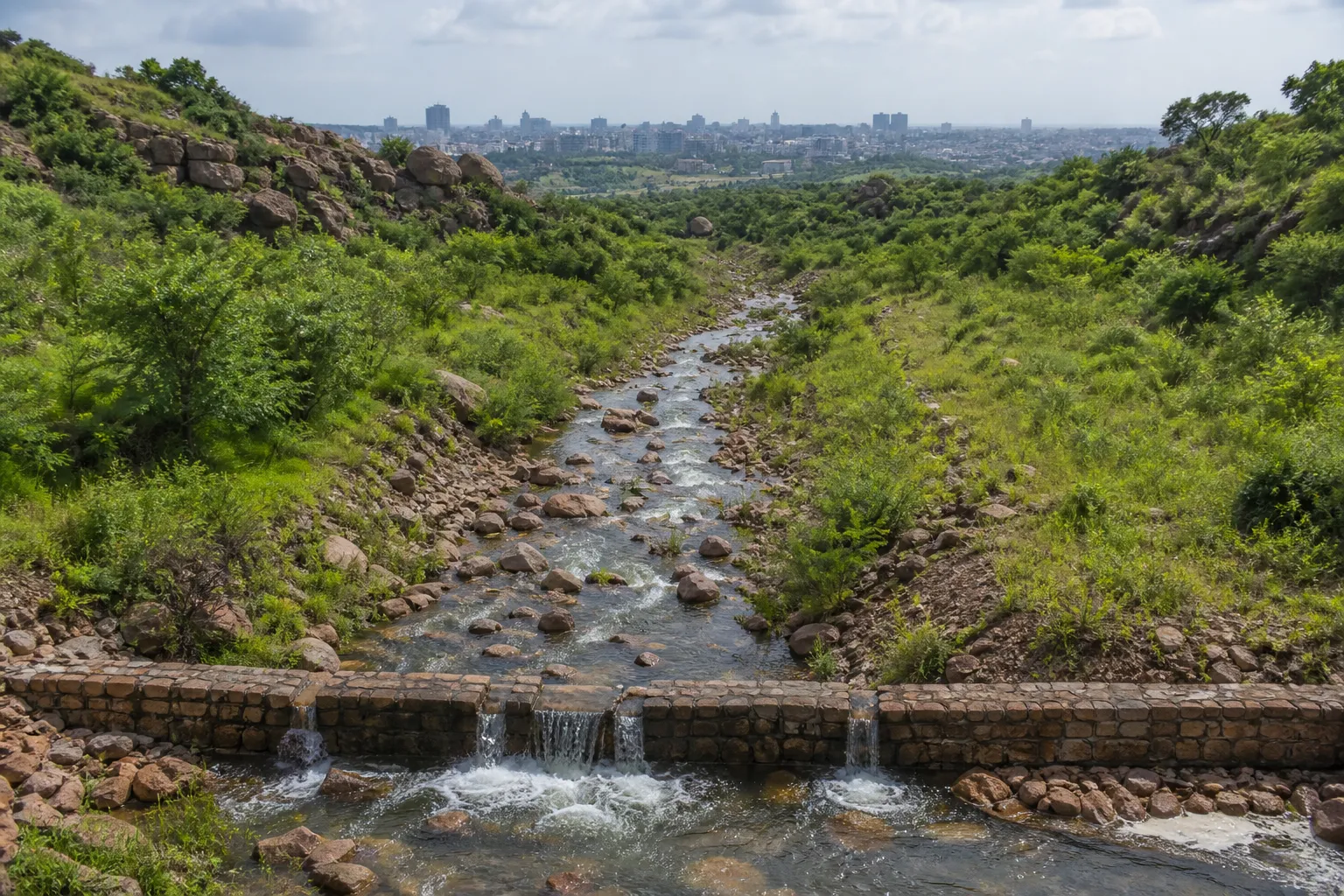
A proposal sent to the Haryana government has reopened a basic question behind Gurugram's monsoon flooding: can the city keep engineering around blocked natural channels, or must it recover the drainage routes that shaped the landscape before urbanisation? Gurugram MP Rao Inderjit Singh has sought a dedicated project to restore old drains and Aravalli-fed check dams, with underground lines where surface revival is no longer possible.
The proposal points to the city's natural gradient from the Aravalli hills towards the Najafgarh drain. With an elevation difference of roughly 78 metres, stormwater historically moved through bundhs, small channels and larger drains rather than collecting on roads. The Jharsa bundh near NH-48 formed part of that system, along with check dams that slowed runoff and supported groundwater recharge.
Decades of construction have interrupted many of those paths. A state survey in 2022 estimated that nearly 75 per cent of Gurugram's natural stormwater drains had been lost or obstructed. Some channels were built over, some narrowed, and others became carriers of sewage or debris. Once intense rain exceeds the capacity of the remaining network, water follows the old gradient anyway, often through basements, service lanes and junctions.
Singh's letter acknowledges ongoing work by GMDA and the Municipal Corporation of Gurugram. Projects include a drain along Southern Peripheral Road, a box drain through Tau Devi Lal Stadium and a permanent outlet near Narsinghpur on NH-48. Authorities have also used desilting and check-dam work to reduce the number of repeatedly flagged waterlogging locations.
The new argument is that these projects treat pressure points without fully restoring the catchment. An underground drain laid along a blocked historical route could preserve flow where demolition or surface acquisition is impractical. But such a line would require accurate hydrological mapping, adequate outfall capacity and protection from sewage connections; otherwise, it risks becoming an expensive pipe that shifts flooding downstream.
Restoration also raises hard land questions. Authorities would need to identify which obstructions are unauthorised, which were permitted under earlier plans and where compensation or redesign is required. A credible project cannot rely on vague references to encroachment. It needs parcel-level maps, flow calculations and a public schedule that prevents selective action.
Check dams deserve equal attention because they reduce the speed and peak volume of runoff before it reaches dense sectors. Rebuilding them with native planting and regular silt removal could combine flood control with groundwater recharge. Concrete-only solutions, by contrast, move water quickly but do little to retain it in a city facing long-term water stress.
The proposal has not yet become a sanctioned project. Its immediate value is to push drainage planning from emergency pumping towards catchment restoration. Before the next round of road digging, Gurugram needs one authoritative map showing natural channels, present obstructions, active projects and final outfalls. Without that shared map, agencies will keep fixing fragments of the same flooded system.
Sources and reporting
Based on the letter sent by Gurugram MP Rao Inderjit Singh to the Haryana Chief Minister, the 2022 drainage survey and current GMDA stormwater projects cited in the proposal.
Related Stories
Court Issues Arrest Warrant for HSVP Brass
MCG Finalises Sohna Site for Fresh Waste

GMDA Seeks Station-Wise Metro Parking Plans

Thar Rams Rapido Cab After Sector 89 Quarrel

FDA Raids 3 Outlets Over Paneer Quality