Strong winds could bring damaging gusts and travel disruption across much of Scotland and the northern fringe of Northern Ireland on Tuesday, October 27, before a quieter spell develops across much of the UK later in the week, according to the Met Office.
A yellow wind warning runs from 03:00 to 21:00 UTC on Tuesday. For readers following events from India, that is 8.30 am IST on October 27 to 2.30 am IST on October 28. The warning was still within its validity period when checked on Tuesday afternoon in India.
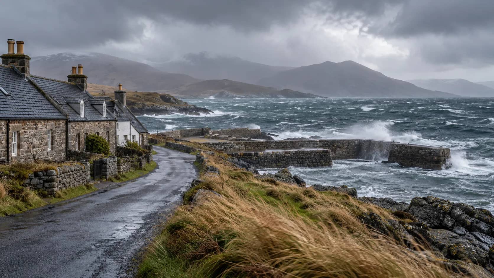
The strongest gusts are most likely over the Hebrides, with exposed coastal areas in northwestern and far northern Scotland potentially seeing 70 mph or more. Gusts of 50 to 60 mph are possible more widely. The forecaster says uncertainty remains about peak speeds, so those figures describe a forecast, not winds already measured everywhere within the warning area.
Where the warning applies
The warning covers areas across Scotland, including the Highlands, Eilean Siar, Orkney and Shetland, Grampian, Central Scotland, Tayside and Fife, and parts of Strathclyde and southeastern Scotland. County Antrim and County Londonderry are also listed in Northern Ireland. The Met Office describes the winds as spreading across much of Scotland while reaching the northern fringe of Northern Ireland.
The geographical emphasis is on the far north and northwest, rather than a uniform level of wind across the UK. The strongest winds are expected to weaken from the southwest later on Tuesday, with far northern Scotland the last area to see them ease. The warning's last listed update, at 08:41 UTC on October 26, moved its area northward and brought its end time forward.
Possible effects include longer journeys or cancellations affecting roads, railways, flights and ferries. Some roads and bridges could close. The warning also identifies possible power cuts, with a knock-on effect on services such as mobile coverage, and a slight chance of damage to trees or buildings, including roof tiles being blown off.
These are potential effects in a weather warning, not confirmation that a particular flight, train or ferry has been cancelled. The Met Office also identifies a small chance of injuries or danger to life from flying debris and from waves throwing material onto seafronts, coastal roads and properties.
Its practical advice includes checking road conditions and bus or train timetables before travelling, and changing plans where necessary. For households, it recommends checking loose outdoor objects and considering how to secure them, alongside preparing torches, batteries, a mobile power bank and other essentials for possible power interruptions.
Dalimss News previously reported on Storm Boelo's October 24 and 25 rail restrictions. That report concerns the weekend's operator notices; it is not a current service-status bulletin for Tuesday. Our separate report on the UK Be Ready household checklist explains the government's broader preparation campaign.
Quieter weather expected from Wednesday
The Met Office's October 26 forecast update expects Tuesday's early rain to clear eastern and southeastern England. Heavier rain in northwestern Scotland is forecast to turn gradually to showers, while sunny spells and showers feature elsewhere, with some heavy showers in western areas.
High pressure is expected to become more influential from Wednesday, October 28. Showers should become less frequent, and many southern areas are expected to stay dry with some sunshine. Winds should ease for most places, although gales could persist temporarily in the far north, where the coastal flooding risk could also continue for a time.
Thursday is forecast to be largely dry, with lighter winds and varying cloud cover. Morning mist and fog are likely in parts of England and Wales and could take time to clear. The shift towards calmer weather therefore does not mean clear conditions everywhere throughout the day.
From Friday into the weekend, Scotland, Northern Ireland and other northwestern areas may see cloud and mostly light, patchy rain. The southeast has the best prospect of brighter weather, with temperatures expected to be near or a little above the seasonal average. Overnight and morning fog could continue, especially in southern and eastern areas.
The Met Office advises people to keep checking their local forecast because warnings can change quickly. Tuesday's warning and the later-week outlook serve different purposes: the first sets out a present period of risk, while the second describes how conditions are expected to develop.
Contains public sector information licensed under the Open Government Licence v3.0. This report is an independent summary by Dalimss News, not an official Met Office publication.