
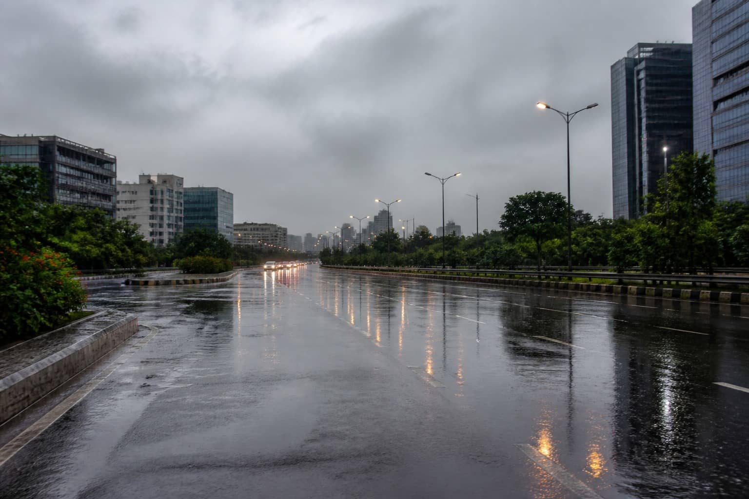
GURUGRAM: Gurugram recorded 66.5 mm of rain between 21 and 27 August, 58 per cent above its weekly normal of 42.2 mm, according to the India Meteorological Department's weekly weather report issued on Thursday.
The week was one of the wetter ones in a state that, as a whole, ran 31 per cent below its weekly normal. Haryana averaged 21.6 mm against 31.2 mm. Jind and Charkhi Dadri recorded almost no rain, with 99 per cent deficits. Karnal and Kurukshetra were 86 per cent short. Gurugram's extra 24.3 mm sat in a narrow southern belt: Palwal got 66.8 mm (126 per cent above normal), Faridabad 64.7 mm (38 per cent above), Nuh 57.9 mm (49 per cent above). Rewari, next door, received only 13.6 mm, 52 per cent below normal.
The seasonal ledger for the city is now just above the line. From 1 June to 27 August, Gurugram received 408.2 mm against a normal of 390.9 mm, a 4 per cent surplus. A week earlier the district had been 1 per cent below normal. The swing is the 24 August flooding spell and the rain around it, not a steady monsoon. IMD's map for the 24 hours ending 8.30 am on 27 August showed no rainfall in Gurugram. Rewari had 3.8 mm, Nuh 0.4 mm, Faridabad 1 mm, Palwal none. The week's total was front-loaded.
Haryana's season remains dry on paper. The state had 276.1 mm from 1 June to 27 August against a normal of 338.8 mm, an 18 per cent deficit. Ambala is 50 per cent below normal, Panchkula 44 per cent, Jind 56 per cent, Sirsa 50 per cent, Karnal 39 per cent, Rohtak 41 per cent. Among neighbours, Nuh is 5 per cent above, Palwal 27 per cent above, Faridabad 1 per cent above.
The weekly report recorded thunderstorms, lightning and gusty winds on five days, and heavy to very heavy rain at isolated places on days 2 to 6 of the period. The monsoon trough shifted across north India, and an upper-air cyclonic circulation over north Haryana lasted several days. By 27 August the western disturbance had become less marked.
District-wise forecasts then left Gurugram out of the rain list for Thursday, Friday and Saturday, with isolated light to moderate rain possible again on 30 August. No weather warning was in force for the state in that window. For a city that went from a 1 per cent seasonal deficit to a 4 per cent surplus in a week, the dry days are a pause, not a verdict. The 66.5 mm that produced the surplus is also the rain that sat on Subhash Chowk, opened a 30-foot hole at IFFCO Chowk, and left school buses in water for hours. Normal on an IMD table and flooded on a sector road can be the same week.