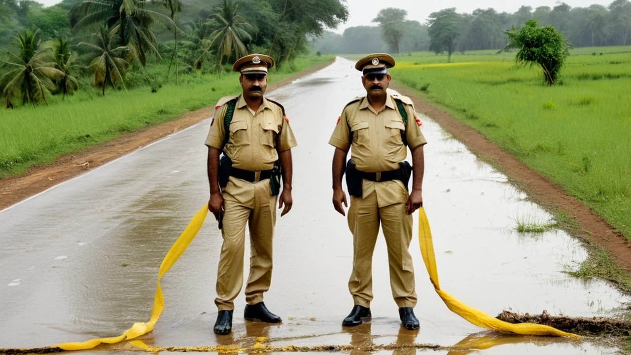
IMD Keeps East UP on Heavy Rain Alert Today; Clear From 28 Sep

The India Meteorological Department has rolled its East Uttar Pradesh subdivision warning forward to Sunday, 27 September, and today’s cell is Heavy Rain with thunderstorm, lightning and squall — a step down from the Extremely Heavy wording that sat on Saturday’s board, with a clean stretch from Monday onward.
According to the official table with Date of Issue 27 September 2026, Day 1 (27 September) carries Heavy Rain together with thunderstorm and lightning and squall. From Day 2 through Day 7 — 28 September, 29 September, 30 September, 1 October, 2 October and 3 October — the East UP box shows No warning.
That is a material update against the 26 September product. Saturday’s chart had Extremely Heavy Rain on the 26th, Heavy Rain on the 27th, and no warning from 28 September through 2 October. Sunday’s revision keeps today’s Heavy Rain and hazard language but extends the clear window through 3 October and drops the Extremely Heavy band that covered the city yesterday.
For Varanasi the reading is practical. Sunday is still a Heavy Rain day on the official East UP row, so low lanes, underpasses and ghat approaches that took water through Saturday’s bursts can fill again if a severe cell sits over the city. From Monday the official East UP warning board goes quiet into early October on this issue. That does not cancel ordinary September showers; it means the subdivision-wise colour warning is off the chart for Days 2 to 7.
Lightning and squall language on Day 1 is not filler. Short severe bursts can still arrive even when the morning only looks grey or misty. Outdoor cable work, open terrace jobs and riverfront crowds should treat that hazard as live through Sunday evening. Farmers and transporters moving loads out of the Purvanchal belt toward Varanasi mandis will watch the same Day 1 Heavy cell before the clear stretch begins.
Saturday’s Extremely Heavy day and the overnight rain at Babatpur sit behind this update; those airport METARs and the civic tree-fall and power outage wrap are covered in separate briefs. School authorities had already ordered a student holiday on Saturday on the back of the earlier alert. That administrative step and this meteorological step-down are separate products, but they frame the same soaked weekend giving way to a quieter official outlook from Monday.
West Uttar Pradesh carries its own row on the same issue date; this story sticks to the East UP cells that cover Varanasi’s meteorological subdivision. The desk is publishing straight from the IMD subdivision-wise warning page with Date of Issue 27 September 2026. No local rain totals are invented here.
Readers who need the primary text should open the official East Uttar Pradesh cells and check Day 1 through Day 7 rather than rely on secondary summaries. If a later product revises the Day 2–7 clear window, that issue will supersede today’s table. Until then, treat Sunday as Heavy Rain with thunderstorm, lightning and squall, and 28 September through 3 October as no warning on the official East UP chart.
Sources and reporting
Official IMD East UP subdivision-wise warning, Date of Issue 27 Sep 2026. Day1 (27): Heavy Rain + Thunderstorm & Lightning, Squall etc. Day2–7 (28 Sep–3 Oct): No warning. Materially UPDATED vs live 26 Sep product (Day1 Extremely Heavy 26; Day2 Heavy 27; clear from 28).
Related Stories

Rain-Soaked Ramnagar Stages Ram’s Birth on Ramlila Day Two

IMS-BHU Workshop Pushes Early Autism Assessment With ISAA Training
CP Orders Women-Crime Cell, Early Security Plan for Air Show and MLC Poll

BHU Signs MoU With VCA Healthcare for Herbal Formulation Research
Lanka Police, NDRF Search Ganga After Teen Drowns at Ravidas Ghat