Aravalli Consultation in Gurugram Puts Mapping Science and Ecological Protection Side by Side
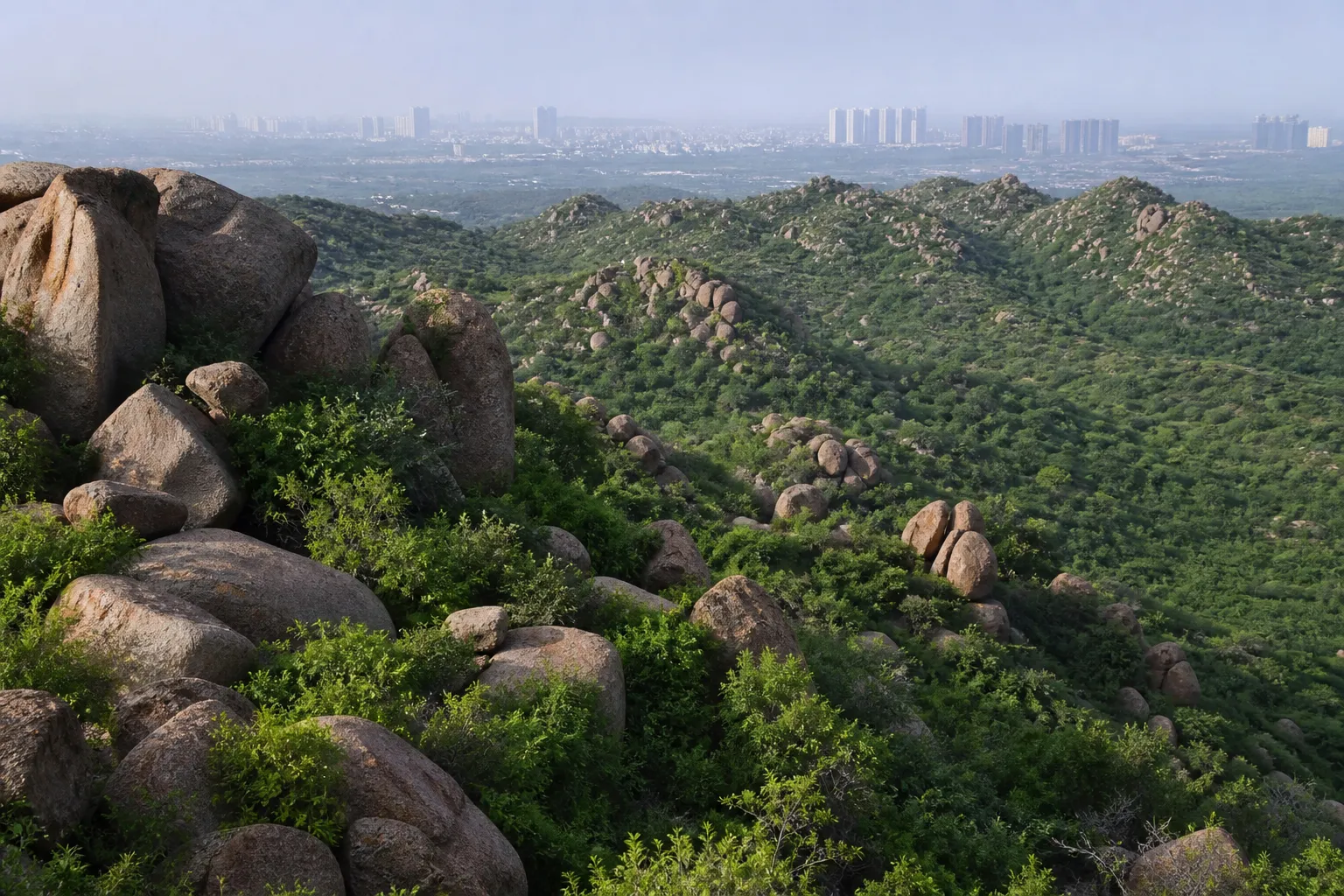
GURUGRAM: A consultation in Gurugram has placed an unusually consequential technical question before environmentalists, forest officials and subject experts: how should the Aravalli range be scientifically delineated without turning a mapping exercise into a route for weaker protection? The discussion was organised by a High Powered Committee constituted by the Supreme Court and will feed into a report to the court.
The committee, chaired by Kanchan Devi, heard suggestions at the PWD Rest House after a field visit to sites in Gurugram and Faridabad on August 6. Stakeholders discussed geographic information systems, remote sensing, hydrology, topography and ecological parameters. Several conservation voices also questioned why a landscape with an established geographical and ecological identity needs to be redefined at all.
A boundary can decide what survives
The debate may sound cartographic, but the consequences are physical. Land included within a protected or regulated Aravalli definition can face different controls on mining, construction and land-use change. Land left outside may become more vulnerable to fragmentation. A line drawn on a technical map can therefore influence the future of hills, valleys, seasonal streams and wildlife movement.
That is why participants urged the committee not to rely on elevation or visible rock alone. Hydrological links, forest patches, wildlife corridors and natural water bodies often function as one system even when construction has broken their visual continuity. Remote sensing can show change over time; field verification is still needed to distinguish natural features from later disturbance.
Gurugram's water security is part of the case
The Aravallis help recharge groundwater and slow runoff moving towards the urban plain. Gurugram remains heavily dependent on groundwater in many pockets, even as paved surfaces and construction reduce infiltration. Damage to recharge zones is therefore not a distant wildlife issue. It affects borewells, flash flooding and the city's ability to absorb intense rain.
Stakeholders also raised illegal mining, habitat fragmentation, air pollution, the Bandhwari landfill and the need for alternatives to Aravalli stone in construction. These pressures overlap. A mined or built-over ridge loses vegetation, releases dust, disrupts drainage and narrows animal movement at the same time.
The panel's report must make its method visible
Forest officials said submissions and technical assessments would be considered before the committee prepares its final report. For public confidence, that report should explain the datasets used, the date of satellite imagery, the treatment of fragmented land and the method for resolving conflicts between revenue records and ecological evidence.
The consultation has not produced a final boundary or a court order, and it should not be reported as one. It has instead opened the evidentiary stage of a decision with long-term consequences. In Gurugram, where every unprotected patch can attract development pressure, the safest principle is straightforward: scientific precision should strengthen conservation, not shrink it.
Sources and reporting
Based on the 11 August 2026 Gurugram stakeholder consultation held by the Supreme Court-constituted High Powered Committee and the issues formally placed before it.
Related Stories
Sector 17 Food Court Fire Blasts Two LPG Cylinders
Signature Global Plans 194-Acre Farrukhnagar Villas
Malda Arrest in Chakkarpur POCSO Case
Army Officer Flags Sector 106 C&D Waste Centre
Registrar Tells Aura RWA to Open Park to EWS