
MP Pitches 20-Acre Lake Near Sirhaul Border
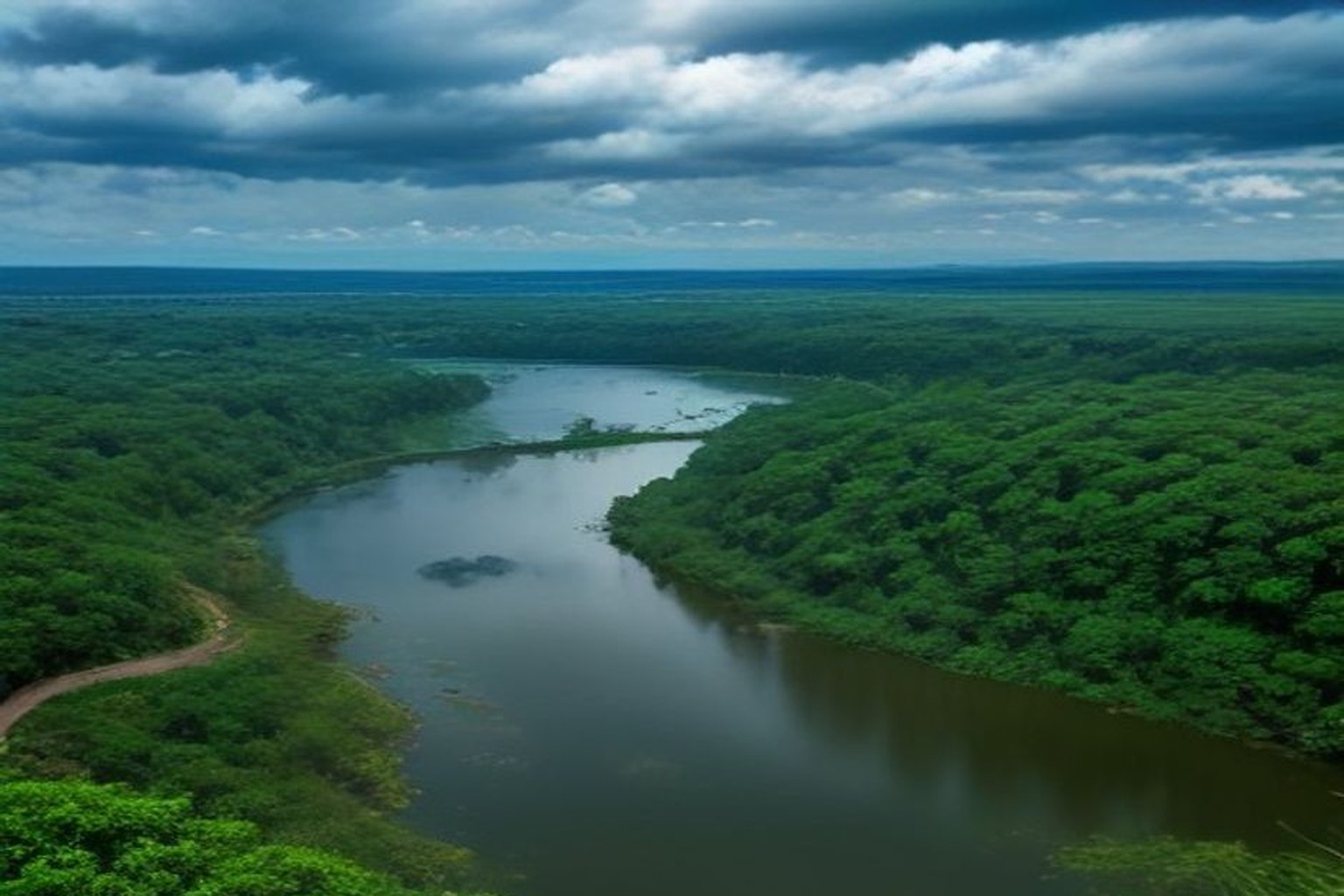
GURUGRAM: Member of Parliament Rao Inderjit Singh has proposed building an artificial lake on more than 20 acres of Haryana tourism department land at Dhanchiri camp near the Sirhaul border to ease monsoon waterlogging and help groundwater recharge.
In a letter to Chief Minister Nayab Singh Saini dated 11 September, Singh said he had discussed options with experts from IIT Gandhinagar and with a private consultant engaged by the Gurugram Metropolitan Development Authority.
What the proposal covers
Singh said about 20 acres at Dhanchiri camp could hold monsoon water that now floods several pockets and then runs off uselessly into the Najafgarh drain. A pond on that unused tourism land, he argued, would both cut waterlogging and allow water to seep underground.
He said runoff from Nathupur village, DLF Phase 3 and adjoining colonies already flows toward that land and could be channelised into the proposed pond. He linked worsening waterlogging in Nathupur, Dundahera, Udyog Vihar and DLF areas to rapid construction and encroachment of natural drains.
Beyond Dhanchiri, Singh also floated artificial lakes on waterlogged agricultural land in Daultabad, Dhankot, Kherki Majra and Chandu, with annual compensation for landowners. Citing figures associated with a NITI Aayog report, he said groundwater depth in the region had moved from about 18 metres in 2004 to 38 metres in 2025, while extraction was reported around 212 percent in 2024. He asked for satellite mapping and restoration of natural drainage channels.
The letter is a proposal to the state government, not a sanctioned works order. Any lake on tourism land would still need site surveys, environmental clearances, funding and an agency to build and maintain inlets so that channelised stormwater does not simply recreate a flood pocket.
Sirhaul sits on a busy Delhi-Gurugram fringe where tourism parcels, mall traffic and village drains meet. Channelising Nathupur and DLF Phase 3 runoff into a designed pond would need inlet hydraulic design so that a sudden cloudburst does not simply relocate the flood from one colony to another. GMDA's existing consultant work on waterlogging, referenced by Singh, would likely feed any terms of reference if the state accepts the pitch.
Singh's secondary idea of compensating farmers for seasonal ponds in Daultabad, Dhankot, Kherki Majra and Chandu is a different land model from using tourism department acreage. That track would need revenue and agriculture department buy-in alongside water resources clearances.
For residents of Nathupur and DLF Phase 3, the idea speaks to a familiar monsoon pattern: water sits on roads, then disappears into the Najafgarh system without recharging local aquifers. Whether the CM's office converts the Dhanchiri pitch into a detailed project report will decide if the 20-acre parcel becomes a storage basin or stays unused tourism land.
Sources and reporting
Gurugram MP and Union minister of state Rao Inderjit Singh letter to Chief Minister Nayab Singh Saini dated 11 September 2026 (public discussion around 22 September) proposing artificial lake/pond on around 20 acres of Haryana tourism department land at Dhanchiri camp near Sirhaul border. Aim: store monsoon runoff that now causes waterlogging and flows to Najafgarh drain; allow seepage for groundwater recharge. Singh said discussions with IIT Gandhinagar experts and private consultant engaged by GMDA. Runoff from Nathupur, DLF Phase 3 and adjoining colonies could be channelised. Also proposed lakes on waterlogged farm land in Daultabad, Dhankot, Kherki Majra and Chandu with annual compensation to landowners. Cited NITI Aayog-linked figures: groundwater depth from 18 metres in 2004 to 38 metres in 2025; extraction about 212 percent in 2024. Sought satellite mapping and restoration of natural drains. Proposal to state government; not yet a sanctioned project.
Related Stories
Festive Special to Gorakhpur Gets Gurugram Halt
Fifth Accused Held in Rs 25 Lakh Sector 47 Robbery

Courier Staffer Booked Over 105 Missing One8 Returns

HC Sets Rs 50 Lakh Costs for Accused's Return to India
Gurugram Swimmer, 20, Crosses English Channel